Hoax / Miscellaneous
Ijunoon
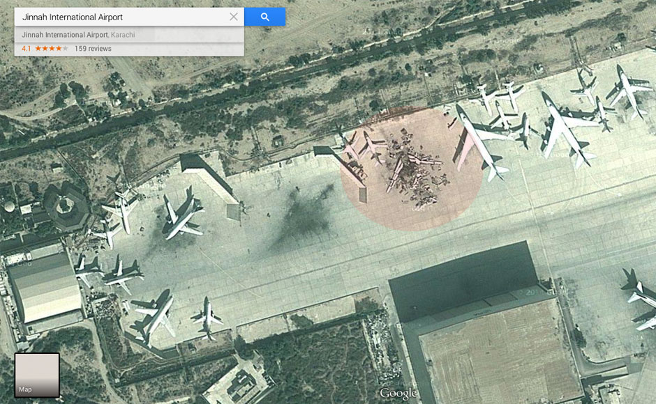
Karachi Airport Satellite Image showing destroyed airplane is not image taken after attack on Karachi airport.
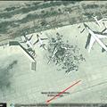
Please look at the bottom of the picture in this image, which is from 17 November 2013 you can check this date on Google Earth. Also, the aircraft in the image that seems destroyed was in fact an old PIA 747 (AP-BFY), which was scrapped/dismantled after being retired.
How to find the capture date of Satellite Images
If you wish to know the date when satellites captured those aerial images that you now see in Google Maps, you will have to use Google Earth for that (for some reason, these dates aren’t displayed on the Google Maps website).
Launch the Google Earth program, search for any location and zoom in as much as possible. You should see the capture date of that image in the status bar as highlighted in the above screenshot.
Advertisement
·
0 Like ·
Jun 11, 2014 at 15:06
Category: miscellaneous
Latest Posts in hoax
- Video of flying horse in Jeddah sky is HOAXPosted by : iJunoon on
- Long March in South Korea Image is HOAXPosted by : iJunoon on
- Imaan me kami peshi nahee hotiPosted by : iJunoon on
- Kamil Momin Woh Hai Jo Mazaq Mein Bhi Jhoot Na BolePosted by : iJunoon on
- Billi Se Mohabbat Imaan Ka Hissa HaiPosted by : iJunoon on
- Watan Se Mohabbat Imaan Ka Hissa HaiPosted by : iJunoon on
- Haya Ke Bagher Imaan NahePosted by : iJunoon on
- Ooni Libaas Pehannay se Imani MithaasPosted by : iJunoon on
- Sabar ka Imaan Mein DarjaPosted by : iJunoon on
- Murghay ki baang aur Gadhay ki awaazPosted by : iJunoon on


Sponored Video